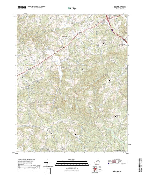
2022 Map of Woodlawn
USGS Topo · Published 2022About this map
Woodlawn United Methodist Church-Cem sits at the heart of this landscape, reflecting a community pattern defined by numerous family and congregational burial grounds throughout Carroll County. The terrain is intricately carved by several branches of Crooked Creek and the W-Fork Little Reed Island Cr, which dictate the winding paths of rural connectors like Pipers Gap Rd and Blue Ridge Mill Rd. These watercourses have long shaped the agricultural and residential layout of the region.
Find a feature on this map
133 named features on this map. Tap any name to fly to it.
Don’t see what you’re looking for? This feature index may not catch every label — zoom into the map to look around manually.
Map Details
Editions of this 2022 Woodlawn Map
This is the sole edition of this map. No revisions or reprints were ever made.
Other maps of this area

1889 · Hillsville
USGS Topo · 1:125,000

1892 · Hillsville
USGS Topo · 1:125,000

1896 · Hillsville
USGS Topo · 1:125,000

1930 · Max Meadows
USGS Topo · 1:62,500

1931 · Galax
USGS Topo · 1:48,000

1933 · Galax
USGS Topo · 1:62,500

1953 · Winston-Salem
USGS Topo · 1:250,000

1955 · Winston-Salem
USGS Topo · 1:250,000

1956 · Macks Mountain
USGS Topo · 1:62,500

1957 · Mount Airy
USGS Topo · 1:62,500