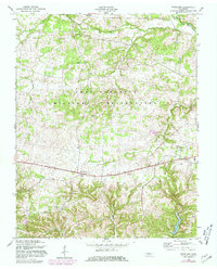
1957 Map of Woodlawn
USGS Topo · Published 1981About this map
The Fort Campbell Military Reservation dominates the central landscape of this Montgomery County quadrangle, showing the intersection of military training grounds and established rural communities in the mid-20th century. The settlement at Woodlawn sits at a crossroads in the east, while the village of Oakwood serves as a local anchor along the main transit corridor. This survey, updated with 1980 photorevisions, details a network of family-named landmarks and watercourses that defined the area's agricultural and social fabric.
Find a feature on this map
19 named features on this map. Tap any name to fly to it.
Don’t see what you’re looking for? This feature index may not catch every label — zoom into the map to look around manually.
Map Details
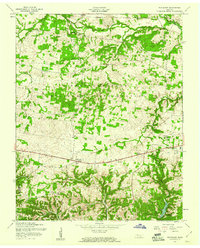
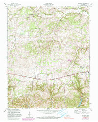
Editions of this 1957 Woodlawn Map
3 editions found
Other maps of this area

1931 · Erin
USGS Topo · 1:62,500

1944 · Clarksville
USGS Topo · 1:50,000

1951 · Roaring Spring
USGS Topo · 1:24,000

1951 · New Providence
USGS Topo · 1:24,000

1951 · Indian Mound
USGS Topo · 1:24,000

1951 · Herndon
USGS Topo · 1:24,000

1951 · Oak Grove
USGS Topo · 1:24,000

1951 · Woodlawn
USGS Topo · 1:24,000

1956 · Nashville
USGS Topo · 1:250,000

1957 · New Providence
USGS Topo · 1:24,000