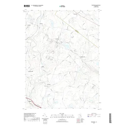
2019 Map of Woodridge
USGS Topo · Published 2019About this map
Woodridge and Mountain Dale anchor this detailed study of the Sullivan County landscape, where the Neversink River carves a deep path through the terrain. The map documents the intricate water network of the Catskills region, featuring Silver Lake, Bowers Pond, and the winding Sandburg Cr. Smaller settlements like Glen Wild and Dairyland are shown with their connecting local road networks, including Mountain Dale Rd and Dairyland Rd, providing a clear picture of rural New York's modern infrastructure.
Find a feature on this map
125 named features on this map. Tap any name to fly to it.
Don’t see what you’re looking for? This feature index may not catch every label — zoom into the map to look around manually.
Map Details
Editions of this 2019 Woodridge Map
This is the sole edition of this map. No revisions or reprints were ever made.
Other maps of this area

1903 · Slide Mountain
USGS Topo · 1:62,500

1904 · Ellenville
USGS Topo · 1:62,500

1905 · Slide Mountain
USGS Topo · 1:62,500

1906 · Ellenville
USGS Topo · 1:62,500

1909 · Monticello
USGS Topo · 1:62,500

1910 · Neversink
USGS Topo · 1:62,500

1911 · Monticello
USGS Topo · 1:62,500

1942 · Neversink
USGS Topo · 1:62,500

1942 · Lackawack
USGS Topo · 1:24,000
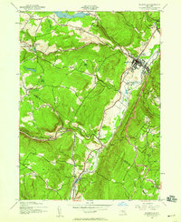
1942 · Ellenville
USGS Topo · 1:24,000