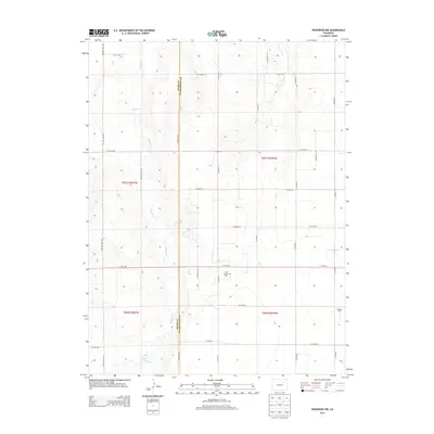
2013 Map of Woodrow NW
USGS Topo · Published 2013About this map
The high plains of eastern Colorado are defined by a rhythmic grid of rural section roads and the meandering path of Badger Cr as it flows north through the landscape. This 2013 survey reveals the quiet intersection of agriculture and energy on the border of Adams and Washington Counties. The area is notably shaped by the petroleum industry, with the Little Beaver Oil Field and Kejr Oil Field marking the eastern half of the sheet. Unlike more developed regions, this terrain is characterized by a strict geometric order of county roads, including Winview Mile Rd and Meridian Rd, which serve the isolated farmsteads and oil operations scattered across these subtle drainage basins.
Find a feature on this map
28 named features on this map. Tap any name to fly to it.
Don’t see what you’re looking for? This feature index may not catch every label — zoom into the map to look around manually.
Map Details
Editions of this 2013 Woodrow NW Map
This is the sole edition of this map. No revisions or reprints were ever made.
Other maps of this area

1954 · Limon
USGS Topo · 1:250,000

1954 · Sterling
USGS Topo · 1:250,000

1957 · Limon
USGS Topo · 1:250,000

1958 · Limon
USGS Topo · 1:250,000

1958 · Sterling
USGS Topo · 1:250,000

1965 · Gary
USGS Topo · 1:24,000

1965 · Vallery SE
USGS Topo · 1:24,000

1965 · Huey Ranch
USGS Topo · 1:24,000

1973 · Woodrow
USGS Topo · 1:24,000

1973 · Shamrock
USGS Topo · 1:24,000