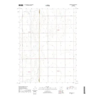
2019 Map of Woodrow NW
USGS Topo · Published 2019About this map
Badger Cr meanders through this agricultural section of the high plains, providing the primary relief in an otherwise strictly gridded landscape. The map highlights the boundary between Adams Co and Washington Co, which is defined by the straight north-south line of Co Rd 72 Meridian Rd. This intersection of county lines and range divisions illustrates the enduring impact of the Public Land Survey System on the modern geography of eastern Colorado.
Find a feature on this map
21 named features on this map. Tap any name to fly to it.
Don’t see what you’re looking for? This feature index may not catch every label — zoom into the map to look around manually.
Map Details
Editions of this 2019 Woodrow NW Map
This is the sole edition of this map. No revisions or reprints were ever made.
Other maps of this area

1954 · Limon
USGS Topo · 1:250,000

1954 · Sterling
USGS Topo · 1:250,000

1957 · Limon
USGS Topo · 1:250,000

1958 · Limon
USGS Topo · 1:250,000

1958 · Sterling
USGS Topo · 1:250,000

1965 · Gary
USGS Topo · 1:24,000

1965 · Vallery SE
USGS Topo · 1:24,000

1965 · Huey Ranch
USGS Topo · 1:24,000

1973 · Woodrow
USGS Topo · 1:24,000

1973 · Shamrock
USGS Topo · 1:24,000