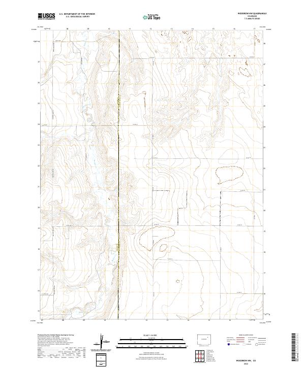
2022 Map of Woodrow NW
USGS Topo · Published 2022About this map
The high plains of eastern Colorado are defined here by the winding course of Badger Cr, which snakes through the western portion of this 2022 survey. This landscape is characterized by a precise grid of rural section lines and county thoroughfares, most notably Meridian Rd, which serves as the boundary line between Adams Co and Washington Co. The drainage of Badger Cr creates a subtle break in the otherwise flat agricultural and rangeland terrain, providing a natural focal point amidst the man-made geometry of roads like Pitcairn Rd and 164th Ave. This map illustrates the modern spatial organization of the Colorado prairie, where transportation and land ownership follow a rigid township and range system, yet remain tethered to the essential water source of the creek corridor.
Find a feature on this map
22 named features on this map. Tap any name to fly to it.
Don’t see what you’re looking for? This feature index may not catch every label — zoom into the map to look around manually.
Map Details
Editions of this 2022 Woodrow NW Map
This is the sole edition of this map. No revisions or reprints were ever made.
Other maps of this area

1954 · Limon
USGS Topo · 1:250,000

1954 · Sterling
USGS Topo · 1:250,000

1957 · Limon
USGS Topo · 1:250,000

1958 · Limon
USGS Topo · 1:250,000

1958 · Sterling
USGS Topo · 1:250,000

1965 · Gary
USGS Topo · 1:24,000

1965 · Vallery SE
USGS Topo · 1:24,000

1965 · Huey Ranch
USGS Topo · 1:24,000

1973 · Woodrow
USGS Topo · 1:24,000

1973 · Shamrock
USGS Topo · 1:24,000