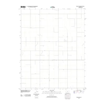
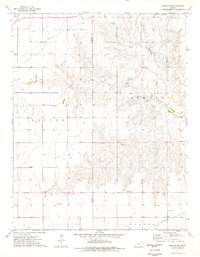
2010 Map of Woods NW
USGS Topo · Published 2010About this map
State Hwy 51 bisects this Stevens County landscape, serving as the primary east-west corridor through a strictly gridded agricultural region. The map reveals the rigid section-line organization of the Kansas High Plains, where the terrain is almost entirely defined by an extensive network of rural routes. From Rd T at the northern boundary to K Rd at the south, these corridors facilitate the movement of goods and equipment across large-scale farm plots. The sparse distribution of structures along roads like Rd 20 and Rd 23 reflects the modern industrial scale of regional agriculture, where small family homesteads have largely given way to expansive operations. This 2010 survey by the U.S. Geological Survey provides a precise view of the rural infrastructure supporting the Kansas wheat and grain belts at the start of the 21st century.
Find a feature on this map
15 named features on this map. Tap any name to fly to it.
Don’t see what you’re looking for? This feature index may not catch every label — zoom into the map to look around manually.
Map Details
Editions of this 2010 Woods NW Map
This is the sole edition of this map. No revisions or reprints were ever made.
Other maps of this area

1944 · Moscow
USGS Topo · 1:62,500

1945 · Moscow
USGS Topo · 1:62,500

1955 · Dodge City
USGS Topo · 1:250,000

1958 · Dodge City
USGS Topo · 1:250,000

1959 · Dodge City
USGS Topo · 1:250,000
1974 · Hugoton SE
USGS Topo · 1:24,000

1974 · Hugoton
USGS Topo · 1:24,000
1974 · Woods SW
USGS Topo · 1:24,000
1974 · Woods SE
USGS Topo · 1:24,000
1974 · Moscow SE
USGS Topo · 1:24,000