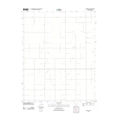
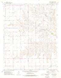
2012 Map of Woods NW
USGS Topo · Published 2012About this map
Stevens County agriculture and high-plains topography are captured in this 2012 survey of the Woods NW region. The landscape is defined by the strict rectilinear grid of the Jeffersonian survey system, where north-south routes like 4mi Rd and 6mi Rd intersect east-west thoroughfares such as 5mi Rd and 1st St. This network of rural roads serves a sparsely populated area primarily dedicated to large-scale farming, typical of the Kansas panhandle region. The map tracks subtle local nomenclature where numbered roads transition into named streets, including the junction of Road 20 and Road 18. While the terrain is relatively level, the presence of isolated structures along corridors like Co Road R provides specific points of interest for those studying the 21st-century rural footprint of southwest Kansas.
Find a feature on this map
9 named features on this map. Tap any name to fly to it.
Don’t see what you’re looking for? This feature index may not catch every label — zoom into the map to look around manually.
Map Details
Editions of this 2012 Woods NW Map
This is the sole edition of this map. No revisions or reprints were ever made.
Other maps of this area

1944 · Moscow
USGS Topo · 1:62,500

1945 · Moscow
USGS Topo · 1:62,500

1955 · Dodge City
USGS Topo · 1:250,000

1958 · Dodge City
USGS Topo · 1:250,000

1959 · Dodge City
USGS Topo · 1:250,000
1974 · Hugoton SE
USGS Topo · 1:24,000

1974 · Hugoton
USGS Topo · 1:24,000
1974 · Woods SW
USGS Topo · 1:24,000
1974 · Woods SE
USGS Topo · 1:24,000
1974 · Moscow SE
USGS Topo · 1:24,000