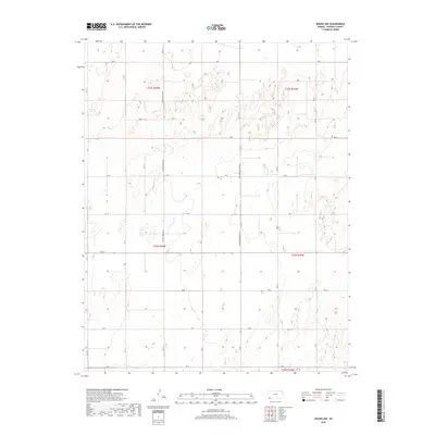
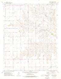
2018 Map of Woods NW
USGS Topo · Published 2018About this map
The high plains of Stevens County are defined by a strict geometric grid of section lines and infrastructure in this late 2010s survey. The landscape is dominated by industrial and agricultural transport routes, most notably Hooker Moscow Rd and Northern Natural Rd, which cut long north-south paths through the township ranges. Smaller access roads like 1st St and various lettered routes such as Rd P and Rd K delineate the open terrain, supporting the energy and ranching operations characteristic of the region. The map provides a detailed look at the Public Land Survey System divisions, showing the precise layout of t32s r36w and t33s r35w, making it a valuable resource for understanding the modern footprint of land ownership and utility corridors in this corner of southwest Kansas.
Find a feature on this map
26 named features on this map. Tap any name to fly to it.
Don’t see what you’re looking for? This feature index may not catch every label — zoom into the map to look around manually.
Map Details
Editions of this 2018 Woods NW Map
This is the sole edition of this map. No revisions or reprints were ever made.
Other maps of this area

1944 · Moscow
USGS Topo · 1:62,500

1945 · Moscow
USGS Topo · 1:62,500

1955 · Dodge City
USGS Topo · 1:250,000

1958 · Dodge City
USGS Topo · 1:250,000

1959 · Dodge City
USGS Topo · 1:250,000
1974 · Hugoton SE
USGS Topo · 1:24,000

1974 · Hugoton
USGS Topo · 1:24,000
1974 · Woods SW
USGS Topo · 1:24,000
1974 · Woods SE
USGS Topo · 1:24,000
1974 · Moscow SE
USGS Topo · 1:24,000