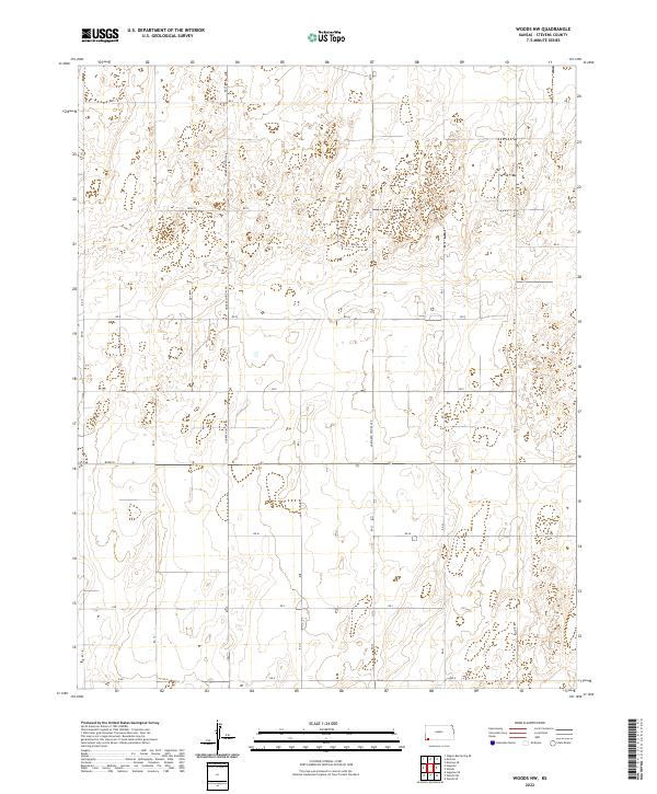
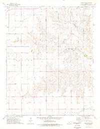
2022 Map of Woods NW
USGS Topo · Published 2022About this map
The agricultural grid of Stevens County dominates this portion of the Kansas plains, where a network of section-line roads facilitates the movement of local industry. Hooker Moscow Rd and Northern Natural Rd serve as primary north-south corridors, connecting disparate farming plots across the township lines of t33s r36w and t32s r35w. The landscape is characterized by its organized, rectilinear development, evident in the naming conventions of Road S and Road N. This 2022 survey illustrates the enduring importance of the Public Land Survey System in defining the rural landscape of Western Kansas. Researchers can trace the specific parcels of land within the various township ranges, identifying the intersection of modern infrastructure like 1st St with the established rural routes that have supported the region's economy for generations.
Find a feature on this map
27 named features on this map. Tap any name to fly to it.
Don’t see what you’re looking for? This feature index may not catch every label — zoom into the map to look around manually.
Map Details
Editions of this 2022 Woods NW Map
This is the sole edition of this map. No revisions or reprints were ever made.
Other maps of this area

1944 · Moscow
USGS Topo · 1:62,500

1945 · Moscow
USGS Topo · 1:62,500

1955 · Dodge City
USGS Topo · 1:250,000

1958 · Dodge City
USGS Topo · 1:250,000

1959 · Dodge City
USGS Topo · 1:250,000
1974 · Hugoton SE
USGS Topo · 1:24,000

1974 · Hugoton
USGS Topo · 1:24,000
1974 · Woods SW
USGS Topo · 1:24,000
1974 · Woods SE
USGS Topo · 1:24,000
1974 · Moscow SE
USGS Topo · 1:24,000