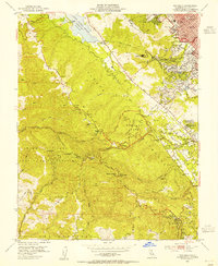
1953 Map of Woodside
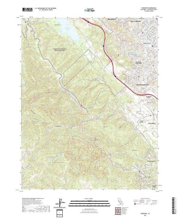
USGS Topo · Published 1954About this map
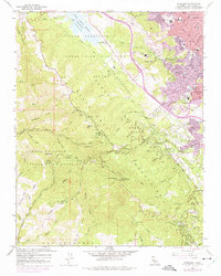
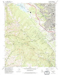
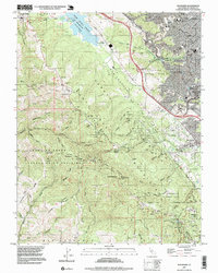
The Old Woodside Store stands as a focal point in this mid-century survey of the Santa Cruz Mountains, illustrating the area's transition from early timber and trade to a rural residential enclave. Along the San Andreas Canyon, the Pulgas Water Temple marks the terminus of the Hetch Hetchy Aqueduct, a significant piece of California's water infrastructure near the Crystal Springs Reservoir. To the south and west, the landscape is defined by the steep ridges of Sierra Morena and the deep cuts of Bear Gulch and Alambique Creek. These rugged transitions are traced by Skyline Blvd and the Calif Riding and Hiking Trail, which connect high-elevation points like Skeggs Point with the small settlements of Sky Londa and Grabtown. The presence of the Hassler Health Home and the County Sanitorium reflects the era's use of these upland environments for public health and recovery.
Find a feature on this map
65 named features on this map. Tap any name to fly to it.
Don’t see what you’re looking for? This feature index may not catch every label — zoom into the map to look around manually.
Map Details
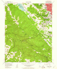
Editions of this 1953 Woodside Map
2 editions found
Historical Maps of Redwood City Through Time
8 maps found