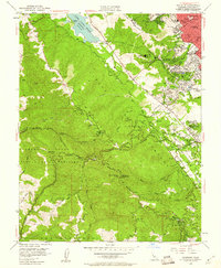
1953 Map of Woodside
USGS Topo · Published 1960About this map
The San Andreas Rift Zone forms a distinct northwest-southeast corridor through this section of the Peninsula, separating the forested heights of the Santa Cruz Mountains from the developing residential tracts of San Carlos and Redwood City. In the early 1950s, the rural character of Woodside is still defined by large estates and winding roads like Skyline Blvd. Cultural and institutional landmarks appear throughout the hills, including the Pulgas Water Temple near the Upper Crystal Springs Reservoir, and medical facilities such as the Hassler Health Home and County Sanatorium. The rugged backcountry south of Huddart Park reveals the region’s logging and exploration history through place names like Grabtown and an Oil Test Well, while schools like Kings Mtn School and Clifford School serve the growing mid-century community.
Find a feature on this map
62 named features on this map. Tap any name to fly to it.
Don’t see what you’re looking for? This feature index may not catch every label — zoom into the map to look around manually.
Map Details
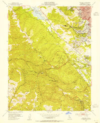
Editions of this 1953 Woodside Map
2 editions found
Other maps of this area

1892 · San Mateo
USGS Topo · 1:62,500

1896 · San Mateo
USGS Topo · 1:62,500

1897 · Palo Alto
USGS Topo · 1:62,500

1899 · Palo Alto
USGS Topo · 1:62,500

1899 · Haywards
USGS Topo · 1:62,500

1899 · San Mateo
USGS Topo · 1:62,500

1902 · Santa Cruz
USGS Topo · 1:125,000

1915 · San Mateo
USGS Topo · 1:62,500

1915 · Haywards
USGS Topo · 1:62,500

1939 · San Mateo
USGS Topo · 1:62,500