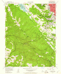
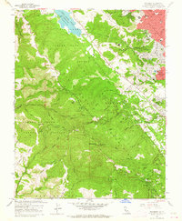
1961 Map of Woodside
USGS Topo · Published 1975About this map
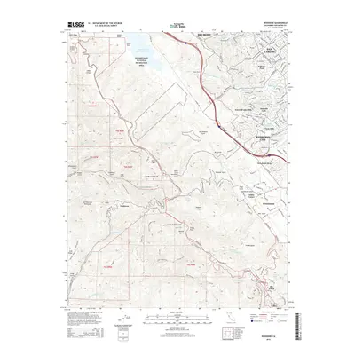
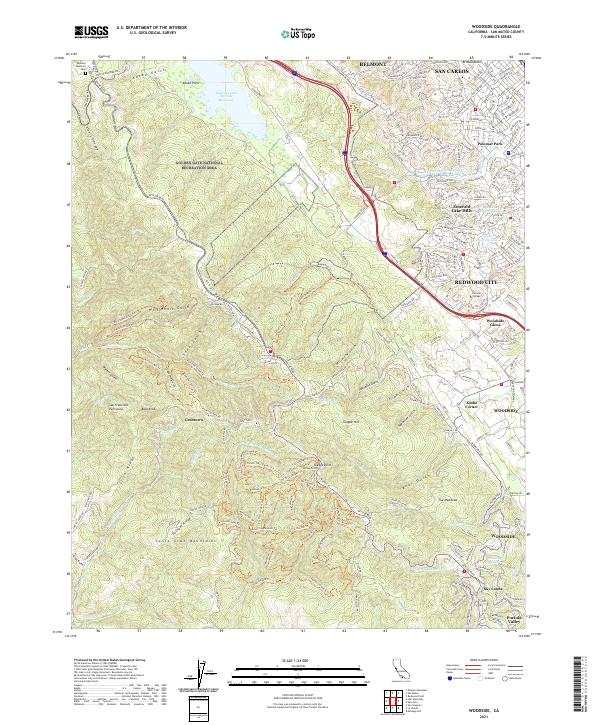
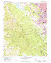
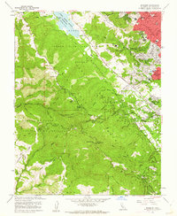
The San Andreas Rift Zone forms the dominant spine of this Peninsula landscape, separating the suburban growth of Redwood City and San Carlos from the rugged crest of the Santa Cruz Mountains. At the northern end of the rift, the Upper Crystal Springs Reservoir and the Pulgas Water Temple mark the critical infrastructure of the Hetch Hetchy Aqueduct. The transition from valley floor to ridge is sharp, moving from the developed streets of Woodside and Palomar Park into the protected acreage of the San Francisco State Fish and Game Refuge and Huddart Park.
Find a feature on this map
78 named features on this map. Tap any name to fly to it.
Don’t see what you’re looking for? This feature index may not catch every label — zoom into the map to look around manually.
Map Details
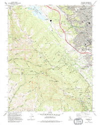
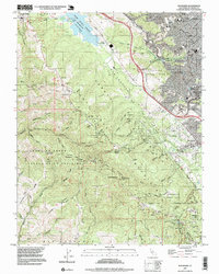
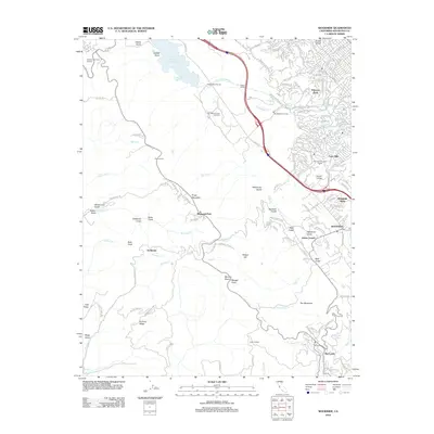
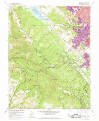
Editions of this 1961 Woodside Map
4 editions found
Historical Maps of Redwood City Through Time
8 maps found