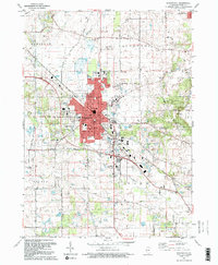
1992 Map of Woodstock
USGS Topo · Published 1992About this map
The city of Woodstock serves as the focal point of this northern Illinois landscape, showing a dense grid of schools, parks, and civic infrastructure in the early 1990s. The Chicago and North Western corridor bisects the town, reinforcing its historical role as a transit hub between rural townships like Hartland and Dorr. Beyond the urban center, the terrain is defined by the Kishwaukee Valley and the winding course of the Kishwaukee River, which flows past numerous gravel pits and specialized facilities like the Sewage Disposal plant. Local family history is well-preserved through several established burial grounds, including the Scandinavian Cem and Oakland Cem. The map also captures the outskirts of Bull Valley and Wonder Lake, where the transition from residential development to active agricultural land is marked by long stretches of family-named roads like Raycraft Road and Queen Anne Road.
Find a feature on this map
52 named features on this map. Tap any name to fly to it.
Don’t see what you’re looking for? This feature index may not catch every label — zoom into the map to look around manually.
Map Details
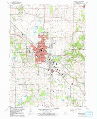
Editions of this 1992 Woodstock Map
2 editions found
Other maps of this area

1925 · Elgin
USGS Topo · 1:62,500

1926 · Mc Henry
USGS Topo · 1:62,500

1932 · Harvard
USGS Topo · 1:48,000

1937 · Harvard
USGS Topo · 1:62,500

1938 · Genoa
USGS Topo · 1:62,500

1940 · Elgin
USGS Topo · 1:62,500

1944 · McHenry
USGS Topo · 1:62,500

1954 · Rockford
USGS Topo · 1:250,000

1955 · Rockford
USGS Topo · 1:250,000

1958 · Rockford
USGS Topo · 1:250,000