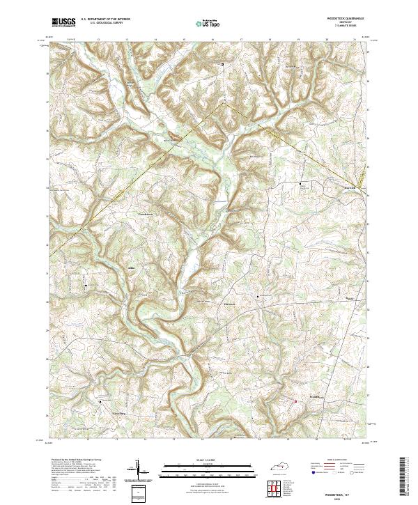
2022 Map of Woodstock
USGS Topo · Published 2022About this map
Woodstock and the surrounding rural hamlets of Pulaski Co and Lincoln Co define this landscape of winding creeks and ridge-top settlements. The terrain is deeply incised by the waters of Buck Creek and its many tributaries, such as Dry Fork and Briary Creek, creating a pattern where communities like Bee Lick and Goochtown are separated by steep hollows like Bear Den Hollow.
Find a feature on this map
141 named features on this map. Tap any name to fly to it.
Don’t see what you’re looking for? This feature index may not catch every label — zoom into the map to look around manually.
Map Details
Editions of this 2022 Woodstock Map
This is the sole edition of this map. No revisions or reprints were ever made.
Other maps of this area

1893 · London
USGS Topo · 1:125,000

1897 · London
USGS Topo · 1:125,000

1935 · Somerset
USGS Topo · 1:62,500

1952 · Halls Gap
USGS Topo · 1:24,000

1952 · Eubank
USGS Topo · 1:24,000

1952 · Crab Orchard
USGS Topo · 1:24,000

1952 · Shopville
USGS Topo · 1:24,000

1952 · Woodstock
USGS Topo · 1:24,000

1953 · Maretburg
USGS Topo · 1:24,000
1953 · Brodhead
USGS Topo · 1:24,000