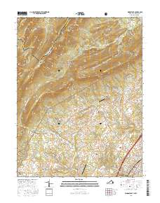
2016 Map of Woodstock
USGS Topo · Published 2016About this map
Van Buren Furnace and Columbia Furnace stand as markers of the region's industrial heritage, situated along the eastern slopes of the North Mountain range. This 2016 survey highlights the intricate drainage network of Pughs Run and Narrow Passage Cr as they flow toward the north-central Shenandoah Valley. Small rural hubs like Saint Luke, Alonzaville, and Kern Springs are connected by a web of country roads including Back Rd and Saumsville Rd. The terrain is defined by prominent ridges such as Paddy Mtn and Little North Mountain, with the George Washington National Forest covering much of the western highlands. Genealogists will find interest in several scattered burial grounds, including Sugar Hill Cem and Mount Zion Cem, which anchor the local history of these unincorporated communities.
Find a feature on this map
102 named features on this map. Tap any name to fly to it.
Don’t see what you’re looking for? This feature index may not catch every label — zoom into the map to look around manually.
Map Details
Editions of this 2016 Woodstock Map
This is the sole edition of this map. No revisions or reprints were ever made.
Other maps of this area

1891 · Romney
USGS Topo · 1:125,000

1892 · Woodstock
USGS Topo · 1:125,000

1893 · Luray
USGS Topo · 1:125,000

1894 · Winchester
USGS Topo · 1:125,000

1905 · Luray
USGS Topo · 1:125,000

1922 · Wardensville
USGS Topo · 1:62,500

1923 · Middletown
USGS Topo · 1:62,500

1923 · Edinburg
USGS Topo · 1:62,500

1924 · Wardensville
USGS Topo · 1:62,500

1937 · Middletown
USGS Topo · 1:48,000