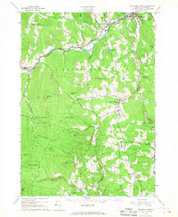
1966 Map of Woodstock South
USGS Topo · Published 1968About this map
The Ottauquechee River carves through the northern portion of this landscape, connecting the villages of Bridgewater, West Woodstock, and Woodstock. This mid-1960s snapshot shows a region defined by its narrow valleys and prominent peaks, such as Mount Peg and Old Baldy Mtn. The survey captures the integration of community life and the environment, noting the Golf Course and Woodstock Union High Sch near the village centers, while the western reaches are dominated by the Calvin Coolidge State Forest.
Find a feature on this map
54 named features on this map. Tap any name to fly to it.
Don’t see what you’re looking for? This feature index may not catch every label — zoom into the map to look around manually.
Map Details
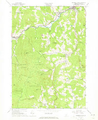
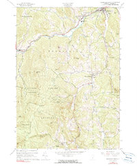
Editions of this 1966 Woodstock South Map
3 editions found
Other maps of this area

1906 · Hanover
USGS Topo · 1:62,500

1908 · Hanover
USGS Topo · 1:62,500

1911 · Woodstock
USGS Topo · 1:62,500

1913 · Woodstock
USGS Topo · 1:62,500

1926 · Claremont
USGS Topo · 1:62,500

1928 · Ludlow
USGS Topo · 1:48,000

1929 · Claremont
USGS Topo · 1:62,500

1929 · Ludlow
USGS Topo · 1:62,500

1932 · Ludlow
USGS Topo · 1:62,500

1943 · Woodstock
USGS Topo · 1:62,500