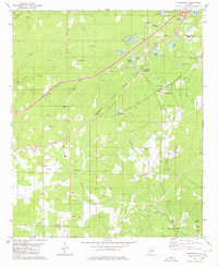
1980 Map of Woodstock
USGS Topo · Published 1980About this map
The boundary between Tuscaloosa Co Bibb Co serves as a central axis for this landscape, where industrial activity and rural community life overlap. The infrastructure of the Southern and Louisville and Nashville railroads facilitates movement through Woodstock Junction, supporting the local extractive economy evidenced by numerous Chert Pits, Iron Pits, and Quarries scattered across the terrain.
Find a feature on this map
63 named features on this map. Tap any name to fly to it.
Don’t see what you’re looking for? This feature index may not catch every label — zoom into the map to look around manually.
Map Details
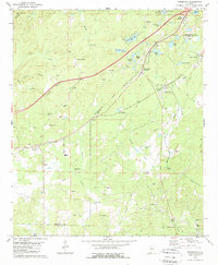
Editions of this 1980 Woodstock Map
2 editions found
Other maps of this area

1899 · Brookwood
USGS Topo · 1:125,000

1927 · Adger
USGS Topo · 1:48,000

1929 · Searles
USGS Topo · 1:48,000

1931 · Cottondale
USGS Topo · 1:48,000

1932 · Yolande
USGS Topo · 1:62,500

1934 · Searles
USGS Topo · 1:62,500

1934 · Cottondale
USGS Topo · 1:62,500

1934 · Blocton
USGS Topo · 1:48,000

1935 · Yolande
USGS Topo · 1:62,500

1940 · Blocton
USGS Topo · 1:62,500