
1913 Map of Woodstock
USGS Topo · Published 1913About this map
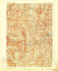
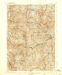
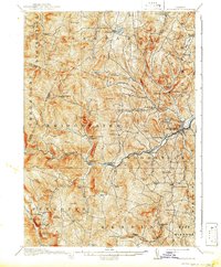
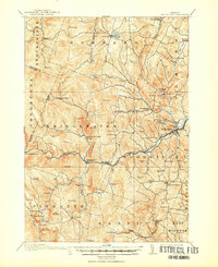
Woodstock serves as the focal point of this 1910-1911 survey, where the Ottanquechee River carves through a landscape of steep hills and narrow valleys. The settlement pattern reveals a series of self-sufficient hamlets, including Bridgewater Center Briggs P O, Plymouth Union, and South Pomfret, each supported by local institutions like the Pelton School and the Stony Brook School. The presence of the Town Farm near South Woodstock and numerous named hollows, such as Curtis Hollow and Pinney Hollow, reflects the agricultural and social organization of Windsor County in the early twentieth century.
Find a feature on this map
98 named features on this map. Tap any name to fly to it.
Don’t see what you’re looking for? This feature index may not catch every label — zoom into the map to look around manually.
Map Details
Editions of this 1913 Woodstock Map
5 editions found
Other maps of this area

1891 · Rutland
USGS Topo · 1:62,500

1893 · Wallingford
USGS Topo · 1:62,500

1893 · Rutland
USGS Topo · 1:62,500

1896 · Strafford
USGS Topo · 1:62,500

1906 · Hanover
USGS Topo · 1:62,500

1908 · Hanover
USGS Topo · 1:62,500

1911 · Woodstock
USGS Topo · 1:62,500

1915 · Rochester
USGS Topo · 1:62,500

1917 · Rochester
USGS Topo · 1:62,500

1919 · Royalton
USGS Topo · 1:62,500