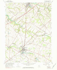
1967 Map of Woodstown
USGS Topo · Published 1984About this map
Woodstown and Swedesboro anchor this agricultural and industrial landscape in the mid-1960s, a period marked by the expansion of transportation networks like the New Jersey Turnpike. The Pennsylvania-Reading Seashore Lines cuts a diagonal path through the terrain, connecting small settlements such as Point Airy and Harrisonville. The local economy of Pilesgrove and Woolwich townships is evidenced by numerous gravel pits and water-powered landmarks like Porches Mill on Oldmans Creek.
Find a feature on this map
77 named features on this map. Tap any name to fly to it.
Don’t see what you’re looking for? This feature index may not catch every label — zoom into the map to look around manually.
Map Details
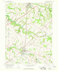
Editions of this 1967 Woodstown Map
2 editions found
Other maps of this area

1890 · Salem
USGS Topo · 1:62,500

1890 · Glassboro
USGS Topo · 1:62,500

1891 · Philadelphia
USGS Topo · 1:62,500

1894 · Chester
USGS Topo · 1:62,500

1894 · Philadelphia
USGS Topo · 1:62,500

1896 · Philadelphia
USGS Topo · 1:62,500

1896 · Chester
USGS Topo · 1:62,500

1898 · Salem
USGS Topo · 1:62,500

1898 · Glassboro
USGS Topo · 1:62,500

1898 · Chester
USGS Topo · 1:62,500