
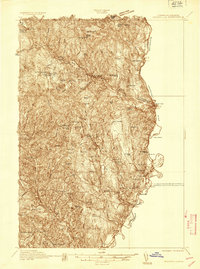
1935 Map of Woodsville
USGS Topo · Published 1935About this map
The Connecticut River defines the western edge of this 1930s landscape, winding past the notable river bends at The Oxbow and Horse Meadow. This preliminary edition focuses on the narrow corridor of development along the New Hampshire bank, where the Boston and Maine Railroad and the Dartmouth College Highway parallel the water. The village of Woodsville serves as a primary hub, situated near the confluence with the Ammonoosuc River.
Find a feature on this map
32 named features on this map. Tap any name to fly to it.
Don’t see what you’re looking for? This feature index may not catch every label — zoom into the map to look around manually.
Map Details
Editions of this 1935 Woodsville Map
5 editions found
Other maps of this area

1896 · Strafford
USGS Topo · 1:62,500

1928 · Rumney
USGS Topo · 1:62,500

1929 · Moosilauke
USGS Topo · 1:62,500

1931 · Mt. Cube
USGS Topo · 1:62,500

1931 · Littleton
USGS Topo · 1:62,500

1931 · Woodsville
USGS Topo · 1:48,000

1932 · Rumney
USGS Topo · 1:62,500

1932 · Littleton
USGS Topo · 1:48,000

1932 · Moosilauke
USGS Topo · 1:62,500

1933 · Mt. Cube
USGS Topo · 1:62,500