
1941 Map of Woodsville
USGS Topo · Published 1941About this map
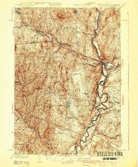
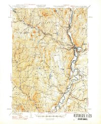
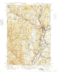
Woodsville and Wells River serve as the focal points of this 1941 survey, marking the industrious confluence of the Connecticut River and the Ammonoosuc River. The landscape is defined by the high-elevation quarrying operations at Gibson Quarry and Bonazzi Quarry on Blue Mtn, reflecting the region's granite heritage. The rail infrastructure is particularly dense here, featuring the Boston and Maine Railroad and the Canadian Pacific Railway, which facilitated the movement of timber and stone from interior Vermont settlements like South Ryegate and Boltonville. Local social history is grounded in the presence of the County Poor Farm near the river meadows and numerous rural schoolhouses such as Whitehill Sch and Limekiln Sch. The map preserves the complex topography from Gardner Mountain down to the fertile river flats of Bear Meadow, providing a clear record of the early 20th-century agrarian and industrial economy.
Find a feature on this map
101 named features on this map. Tap any name to fly to it.
Don’t see what you’re looking for? This feature index may not catch every label — zoom into the map to look around manually.
Map Details
Editions of this 1941 Woodsville Map
4 editions found
Other maps of this area

1896 · Strafford
USGS Topo · 1:62,500

1928 · Rumney
USGS Topo · 1:62,500

1929 · Moosilauke
USGS Topo · 1:62,500

1931 · Mt. Cube
USGS Topo · 1:62,500

1931 · Littleton
USGS Topo · 1:62,500

1931 · Woodsville
USGS Topo · 1:48,000

1932 · Rumney
USGS Topo · 1:62,500

1932 · Littleton
USGS Topo · 1:48,000

1932 · Moosilauke
USGS Topo · 1:62,500

1933 · Mt. Cube
USGS Topo · 1:62,500