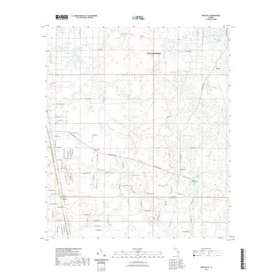
2021 Map of Woodville
USGS Topo · Published 2021About this map
The Saint Marks River and a complex hydrological network of springs and sinks define this landscape south of Tallahassee. The area is characterized by subterranean water movements surfacing at Natural Bridge Springs and Natural Bridge Sink, which historically allowed travelers to cross the river over a natural land bridge. Further south, Rhodes Springs and Saint Marks Spring feed into the river system.
Find a feature on this map
105 named features on this map. Tap any name to fly to it.
Don’t see what you’re looking for? This feature index may not catch every label — zoom into the map to look around manually.
Map Details
Editions of this 2021 Woodville Map
This is the sole edition of this map. No revisions or reprints were ever made.
Other maps of this area

1940 · Tallahassee
USGS Topo · 1:62,500

1940 · Arran
USGS Topo · 1:62,500

1942 · Tallahassee
USGS Topo · 1:62,500

1943 · Arran
USGS Topo · 1:62,500

1943 · Tallahassee
USGS Topo · 1:62,500

1954 · Lloyd
USGS Topo · 1:24,000

1954 · Lafayette
USGS Topo · 1:24,000

1954 · Cody
USGS Topo · 1:24,000

1954 · Woodville
USGS Topo · 1:24,000

1954 · St. Marks NE
USGS Topo · 1:24,000