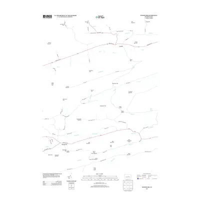
2013 Map of Woodward
USGS Topo · Published 2013About this map
Woodward and Livonia anchor this portrait of Union County’s ridge-and-valley landscape, where narrow gaps and high summits dictate the flow of travel and settlement. The southern corridor is defined by SR 45, which follows the path of Voneida Run beneath the steep slopes of Sand Mountain and Woodward Mountain. To the north, Brush Valley Rd provides the primary passage through the valley of Elk Cr, passing through Livonia before reaching the prominent Stover Gap.
Find a feature on this map
82 named features on this map. Tap any name to fly to it.
Don’t see what you’re looking for? This feature index may not catch every label — zoom into the map to look around manually.
Map Details
Editions of this 2013 Woodward Map
This is the sole edition of this map. No revisions or reprints were ever made.
Other maps of this area

1921 · Williamsport
USGS Topo · 1:48,000

1921 · Lock Haven
USGS Topo · 1:62,500

1923 · Lock Haven
USGS Topo · 1:62,500

1923 · Williamsport
USGS Topo · 1:62,500

1937 · Millheim
USGS Topo · 1:48,000

1938 · Mifflinburg
USGS Topo · 1:48,000

1941 · Millheim
USGS Topo · 1:62,500

1943 · Mifflinburg
USGS Topo · 1:62,500

1944 · Williamsport
USGS Topo · 1:62,500

1944 · Lock Haven
USGS Topo · 1:62,500