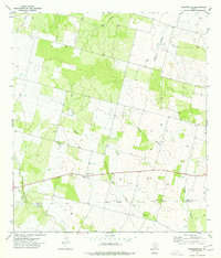
1974 Map of Woodward NE
USGS Topo · Published 1977About this map
St Mary Chapel and the nearby Covey Chapel Cem stand as central landmarks in this rural South Texas landscape, situated just north of the Frio Co La Salle Co line. The terrain is defined by the complex drainage systems of Dry Cibolo Creek and Snake Cibolo Creek, which weave through the brush country alongside Big Hollow and Panther Hollow.
Find a feature on this map
12 named features on this map. Tap any name to fly to it.
Don’t see what you’re looking for? This feature index may not catch every label — zoom into the map to look around manually.
Map Details
Editions of this 1974 Woodward NE Map
This is the sole edition of this map. No revisions or reprints were ever made.
Other maps of this area

1925 · Pearsall 1-c
USGS Topo · 1:48,000

1927 · Pearsall
USGS Topo · 1:62,500

1942 · Divot
USGS Topo · 1:62,500

1942 · Dilley
USGS Topo · 1:62,500

1953 · Crystal City
USGS Topo · 1:250,000

1955 · Crystal City
USGS Topo · 1:250,000

1956 · Woodward
USGS Topo · 1:62,500

1956 · Divot
USGS Topo · 1:62,500

1961 · Crystal City
USGS Topo · 1:250,000
1964 · Derby
USGS Topo · 1:24,000