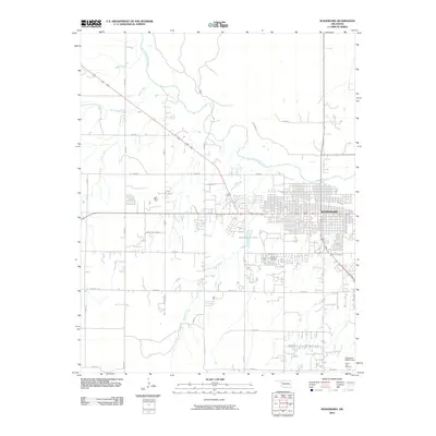
2010 Map of Woodward
USGS Topo · Published 2010About this map
The regional hub of Woodward serves as the focal point of this Northwest Oklahoma survey, situated at the crossroads of major regional thoroughfares and the North Canadian River. The town's grid expands toward the east, anchored by local landmarks such as The 101 Centre and the expansive Elmwood Cemetery. Beyond the residential and commercial core, the landscape is defined by the winding paths of Spring Creek and Woodward Creek, which flow through the undulating terrain south of the river valley.
Find a feature on this map
30 named features on this map. Tap any name to fly to it.
Don’t see what you’re looking for? This feature index may not catch every label — zoom into the map to look around manually.
Map Details
Editions of this 2010 Woodward Map
This is the sole edition of this map. No revisions or reprints were ever made.
Other maps of this area

1955 · Woodward
USGS Topo · 1:250,000

1958 · Woodward
USGS Topo · 1:250,000

1969 · Fargo
USGS Topo · 1:24,000

1969 · Woodward SW
USGS Topo · 1:24,000

1969 · Woodward
USGS Topo · 1:24,000

1969 · Sharon
USGS Topo · 1:24,000

1969 · Fargo SE
USGS Topo · 1:24,000

1969 · Woodward NE
USGS Topo · 1:24,000

1970 · Sleeping Bear Creek SW
USGS Topo · 1:24,000

1970 · Sleeping Bear Creek SE
USGS Topo · 1:24,000