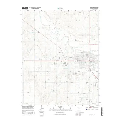
2016 Map of Woodward
USGS Topo · Published 2016About this map
The city of Woodward serves as the focal point for this survey, showcasing the organized grid of streets including Oklahoma Ave and Lincoln Ave alongside more modern developments like Vista Ridge Rd. The landscape is dominated by the meandering course of the North Canadian River to the north, which is fed by several tributaries such as Sand Cr and Roundup Cr. This 2016 data reflects the area's agricultural and research heritage, specifically marked by the Southern Great Plains Field Station Lake. For genealogists, the map preserves the exact locations of Elmwood Cem and the more outlying Prairie View Cem, while the small settlement of Gerlach sits west of the main city center near Temple Houston Dr.
Find a feature on this map
61 named features on this map. Tap any name to fly to it.
Don’t see what you’re looking for? This feature index may not catch every label — zoom into the map to look around manually.
Map Details
Editions of this 2016 Woodward Map
This is the sole edition of this map. No revisions or reprints were ever made.
Other maps of this area

1955 · Woodward
USGS Topo · 1:250,000

1958 · Woodward
USGS Topo · 1:250,000

1969 · Fargo
USGS Topo · 1:24,000

1969 · Woodward SW
USGS Topo · 1:24,000

1969 · Woodward
USGS Topo · 1:24,000

1969 · Sharon
USGS Topo · 1:24,000

1969 · Fargo SE
USGS Topo · 1:24,000

1969 · Woodward NE
USGS Topo · 1:24,000

1970 · Sleeping Bear Creek SW
USGS Topo · 1:24,000

1970 · Sleeping Bear Creek SE
USGS Topo · 1:24,000