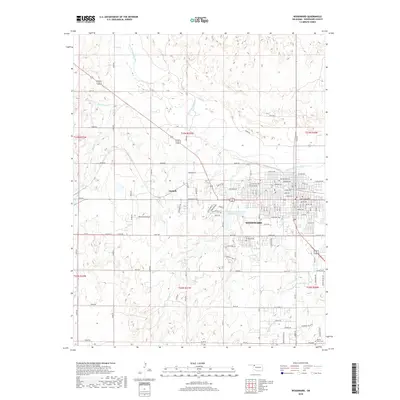
2018 Map of Woodward
USGS Topo · Published 2018About this map
Woodward serves as the primary regional hub in this 2018 survey, centered on the confluence of a modern grid system and the meandering course of the North Canadian River. The city's residential and commercial expansion is evident in the dense street network stretching from Oklahoma Ave north toward the river's floodplains. To the west, the settlement of Gerlach sits along the highway corridor, while the broader landscape is defined by the hydrologic network of Sand Creek and Roundup Creek.
Find a feature on this map
68 named features on this map. Tap any name to fly to it.
Don’t see what you’re looking for? This feature index may not catch every label — zoom into the map to look around manually.
Map Details
Editions of this 2018 Woodward Map
This is the sole edition of this map. No revisions or reprints were ever made.
Other maps of this area

1955 · Woodward
USGS Topo · 1:250,000

1958 · Woodward
USGS Topo · 1:250,000

1969 · Fargo
USGS Topo · 1:24,000

1969 · Woodward SW
USGS Topo · 1:24,000

1969 · Woodward
USGS Topo · 1:24,000

1969 · Sharon
USGS Topo · 1:24,000

1969 · Fargo SE
USGS Topo · 1:24,000

1969 · Woodward NE
USGS Topo · 1:24,000

1970 · Sleeping Bear Creek SW
USGS Topo · 1:24,000

1970 · Sleeping Bear Creek SE
USGS Topo · 1:24,000