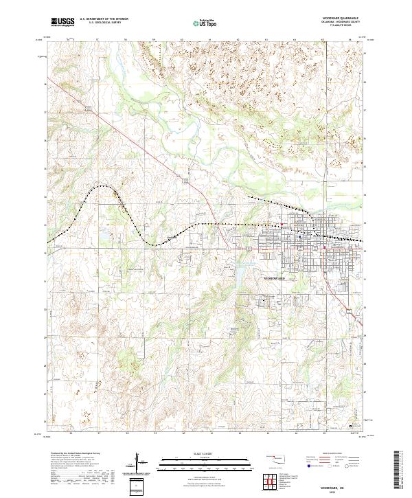
2022 Map of Woodward
USGS Topo · Published 2022About this map
Woodward serves as the focal point of this region, situated where the North Canadian River valley gives way to the surrounding plains. The town's grid is dominated by the Woodward County Courthouse and educational institutions like the Woodward Beauty College, reflecting its role as a regional hub. To the west, the smaller settlement of Gerlach and the specialized Southern Great Plains Field Station Lake suggest a landscape dedicated to both agriculture and research. The mapping of the Temple Houston Dr corridor provides a modern connection to the heritage of the legal and frontier history of Northwest Oklahoma. Significant local landmarks such as Elmwood Cem and Prairie View Cem offer essential data points for genealogists tracing family roots in Woodward County.
Find a feature on this map
121 named features on this map. Tap any name to fly to it.
Don’t see what you’re looking for? This feature index may not catch every label — zoom into the map to look around manually.
Map Details
Editions of this 2022 Woodward Map
This is the sole edition of this map. No revisions or reprints were ever made.
Other maps of this area

1955 · Woodward
USGS Topo · 1:250,000

1958 · Woodward
USGS Topo · 1:250,000

1969 · Fargo
USGS Topo · 1:24,000

1969 · Woodward SW
USGS Topo · 1:24,000

1969 · Woodward
USGS Topo · 1:24,000

1969 · Sharon
USGS Topo · 1:24,000

1969 · Fargo SE
USGS Topo · 1:24,000

1969 · Woodward NE
USGS Topo · 1:24,000

1970 · Sleeping Bear Creek SW
USGS Topo · 1:24,000

1970 · Sleeping Bear Creek SE
USGS Topo · 1:24,000