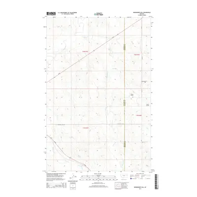
2014 Map of Woodworth Hill
USGS Topo · Published 2014About this map
Woodworth Hill rises above the transition of the eastern Montana plains, marking a significant topographic landmark along the boundary between McCone and Dawson counties. This landscape is defined by its complex drainage network, where the Redwater River and tributaries like Lost Creek and Cottonwood Creek carve through the high prairie. The map documents a sparsely populated but critical ranching and agricultural corridor in the early 21st century, centered on the intersection of Mt-200 and rural access routes like Cottonwood Creek Road.
Find a feature on this map
19 named features on this map. Tap any name to fly to it.
Don’t see what you’re looking for? This feature index may not catch every label — zoom into the map to look around manually.
Map Details
Editions of this 2014 Woodworth Hill Map
This is the sole edition of this map. No revisions or reprints were ever made.
Other maps of this area

1954 · Glendive
USGS Topo · 1:250,000

1957 · Glendive
USGS Topo · 1:250,000

1958 · Glendive
USGS Topo · 1:250,000

1982 · Circle
USGS Topo · 1:100,000

1983 · Woodworth Hill
USGS Topo · 1:24,000

1983 · Olson Coulee South
USGS Topo · 1:24,000

1983 · Mount Antelope
USGS Topo · 1:24,000

1983 · Quick Reservoir
USGS Topo · 1:24,000

1983 · Buffalo Creek
USGS Topo · 1:24,000

1983 · Circle
USGS Topo · 1:24,000