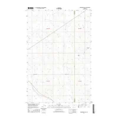
2017 Map of Woodworth Hill
USGS Topo · Published 2017About this map
Woodworth Hill stands as the prominent landmark in this eastern Montana landscape where the high plains transition between the McCone and Dawson county line. The drainage patterns of the region are defined by numerous seasonal waterways, most notably Cottonwood Creek and Buffalo Springs Creek, which carve through the undulating terrain. These creek beds and the surrounding coulees, such as Stilson Coulee, represent the primary topographic features in an area largely characterized by its open, rural character and high-elevation prairie.
Find a feature on this map
16 named features on this map. Tap any name to fly to it.
Don’t see what you’re looking for? This feature index may not catch every label — zoom into the map to look around manually.
Map Details
Editions of this 2017 Woodworth Hill Map
This is the sole edition of this map. No revisions or reprints were ever made.
Other maps of this area

1954 · Glendive
USGS Topo · 1:250,000

1957 · Glendive
USGS Topo · 1:250,000

1958 · Glendive
USGS Topo · 1:250,000

1982 · Circle
USGS Topo · 1:100,000

1983 · Woodworth Hill
USGS Topo · 1:24,000

1983 · Olson Coulee South
USGS Topo · 1:24,000

1983 · Mount Antelope
USGS Topo · 1:24,000

1983 · Quick Reservoir
USGS Topo · 1:24,000

1983 · Buffalo Creek
USGS Topo · 1:24,000

1983 · Circle
USGS Topo · 1:24,000