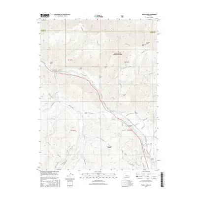
2016 Map of Woody Creek
USGS Topo · Published 2016About this map
Snowmass Village and the valley of the Roaring Fork River anchor this mountain landscape within the White River National Forest. The map documents a sophisticated network of early irrigation and water management, featuring historic infrastructure like the Kester Ditch, Arbaney Ditch, and Wheatley-Western Ditch that traverse the gulches and divides. Settlement patterns are concentrated along the river corridor and the banks of Snowmass Creek, where the Wheatley Cem and the community of Woody Creek reflect the local history of this region. The terrain is marked by significant vertical relief, rising toward Sloane Peak and Triangle Peak. Transport routes including the Rio Grande Trail and the Aspen Airport illustrate the modern evolution of travel through this high-altitude corridor, while local landmarks such as Watson Divide and Red Canyon define the area's physical geography.
Find a feature on this map
94 named features on this map. Tap any name to fly to it.
Don’t see what you’re looking for? This feature index may not catch every label — zoom into the map to look around manually.
Map Details
Editions of this 2016 Woody Creek Map
This is the sole edition of this map. No revisions or reprints were ever made.
Other maps of this area

1893 · Aspen
USGS Topo · 1:62,500

1895 · Aspen
USGS Topo · 1:62,500

1909 · Mount Jackson
USGS Topo · 1:125,000

1911 · Mount Jackson
USGS Topo · 1:125,000

1957 · Leadville
USGS Topo · 1:250,000

1959 · Leadville
USGS Topo · 1:250,000

1960 · Leadville
USGS Topo · 1:250,000

1960 · Highland Peak
USGS Topo · 1:24,000

1960 · Capitol Peak
USGS Topo · 1:24,000

1960 · Aspen
USGS Topo · 1:24,000