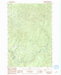
1985 Map of Woolford
USGS Topo · Published 1994About this map
Kalama River Falls Salmon Hatchery stands as a focal point in this 1980s landscape, situated along the winding course of the Kalama River. The terrain is defined by a dense network of drainage systems, including Summers Creek, Woolford Creek, and the Little Kalama River, all carving through the high country between Baldy Mtn and Monument Peak. This mid-1980s survey captures the region during a period of active resource management and infrastructure, where numerous Borrow Pits are interspersed among the hills, likely supporting the network of improved and unimproved roads that cross the Willamette Meridian. The map illustrates the transition from high mountain peaks to the river valley floors, showing how the waterways like Goble Creek and Wild Horse Creek dictate the local geography.
Find a feature on this map
15 named features on this map. Tap any name to fly to it.
Don’t see what you’re looking for? This feature index may not catch every label — zoom into the map to look around manually.
Map Details
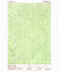
Editions of this 1985 Woolford Map
2 editions found
Other maps of this area

1921 · Kalama
USGS Topo · 1:62,500

1922 · St. Helens
USGS Topo · 1:62,500

1940 · La Center
USGS Topo · 1:62,500

1941 · St Helens
USGS Topo · 1:62,500

1943 · Pigeon Springs
USGS Topo · 1:62,500

1943 · St Helens
USGS Topo · 1:62,500

1948 · Vancouver
USGS Topo · 1:250,000

1950 · Vancouver
USGS Topo · 1:250,000

1950 · Vancouver
USGS Topo · 1:250,000

1953 · Hoquiam
USGS Topo · 1:250,000