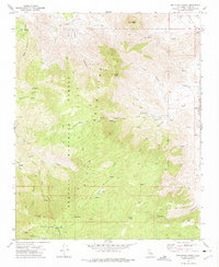
1972 Map of Woolstalf Creek
USGS Topo · Published 1975About this map
The Piute Mountains dominate this 1970s landscape, where high-altitude meadows and mining claims are tucked away within the Sequoia National Forest. The map documents a rugged interior geography where survival was tied to scattered water sources like Brown Spring and Cortez Spring. Evidence of early 20th-century industry is visible through the concentration of mining sites at the southern edge of the quadrangle, including the Bright Star Mine and Lone Star Mine near Alaska Flat.
Find a feature on this map
42 named features on this map. Tap any name to fly to it.
Don’t see what you’re looking for? This feature index may not catch every label — zoom into the map to look around manually.
Map Details
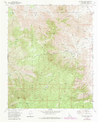
Editions of this 1972 Woolstalf Creek Map
2 editions found
Other maps of this area

1906 · Kernville
USGS Topo · 1:125,000

1908 · Kernville
USGS Topo · 1:125,000

1915 · Mojave
USGS Topo · 1:125,000

1943 · Cross Mountain
USGS Topo · 1:62,500

1943 · Emerald Mtn
USGS Topo · 1:62,500

1943 · Onyx
USGS Topo · 1:62,500

1943 · Isabella
USGS Topo · 1:62,500

1948 · Bakersfield
USGS Topo · 1:250,000

1955 · Bakersfield
USGS Topo · 1:250,000

1956 · Bakersfield
USGS Topo · 1:250,000