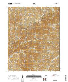
2019 Map of Woolwine
USGS Topo · Published 2019About this map
The community of Woolwine sits at the foot of the Blue Ridge escarpment, where the Smith River begins its descent through the Piedmont. This region is defined by its dramatic elevation changes, with the Blue Ridge Parkway winding along the high western crest past landmarks like Tuggles Gap and Rocky Knob. The topography dictated early settlement patterns and transport, as seen in the cluster of ridges and knobs including Twelve O'Clock Knob and Tinsley Knob.
Find a feature on this map
100 named features on this map. Tap any name to fly to it.
Don’t see what you’re looking for? This feature index may not catch every label — zoom into the map to look around manually.
Map Details
Editions of this 2019 Woolwine Map
This is the sole edition of this map. No revisions or reprints were ever made.
Other maps of this area

1926 · Critz
USGS Topo · 1:48,000

1928 · Stuart
USGS Topo · 1:48,000

1928 · Critz
USGS Topo · 1:62,500

1931 · Stuart
USGS Topo · 1:62,500

1953 · Winston-Salem
USGS Topo · 1:250,000

1955 · Winston-Salem
USGS Topo · 1:250,000

1957 · Endicott
USGS Topo · 1:62,500

1957 · Floyd
USGS Topo · 1:62,500

1962 · Winston-Salem
USGS Topo · 1:250,000

1967 · Patrick Springs
USGS Topo · 1:24,000