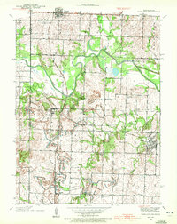
1938 Map of Worland
USGS Topo · Published 1972About this map
The Osage River meanders across this rural landscape in Bates County, defining a region where transportation and education formed the backbone of local life in the late 1930s. The convergence of the Kansas City Southern and Missouri Pacific railroads near Worland illustrates the importance of rail logistics to these prairie settlements. Agricultural development is evident through the presence of the Bates County Drainage Ditch, an engineering effort to manage the heavy bottomlands along the river and its tributaries like Mulberry Creek and Walnut Creek.
Find a feature on this map
28 named features on this map. Tap any name to fly to it.
Don’t see what you’re looking for? This feature index may not catch every label — zoom into the map to look around manually.
Map Details
Editions of this 1938 Worland Map
3 editions found
Other maps of this area

1887 · Butler
USGS Topo · 1:125,000

1887 · Mound City
USGS Topo · 1:125,000

1893 · Mound City
USGS Topo · 1:125,000

1894 · Butler
USGS Topo · 1:125,000

1937 · New Home
USGS Topo · 1:24,000

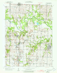
1938 · Worland
USGS Topo · 1:24,000

1940 · Worland
USGS Topo · 1:24,000

1940 · Hume
USGS Topo · 1:24,000

1942 · Hume
USGS Topo · 1:24,000
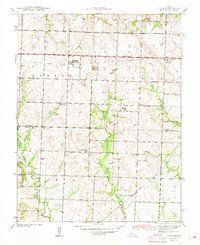
1942 · Sprague
USGS Topo · 1:24,000