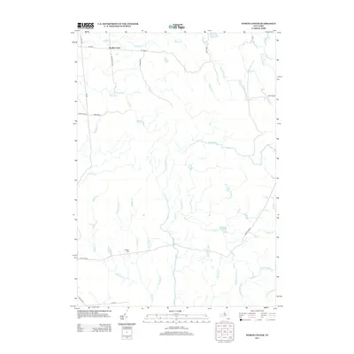
2013 Map of Worth Center
USGS Topo · Published 2013About this map
The small settlement of Worth Center sits in the northern reaches of this landscape, where local roads like Co Rte 93 and Oconnor Rd provide access to a terrain defined by its complex drainage network. The hydrology of the area is dominated by the Mad River and its numerous tributaries, including Slide Cr and N Br Slide Cr, which carve through the elevations near Castor Hill. To the southeast, Alder Bed Pond stands as a significant water feature amidst a web of brooks and creeks that eventually feed into the Salmon River Rd corridor.
Find a feature on this map
39 named features on this map. Tap any name to fly to it.
Don’t see what you’re looking for? This feature index may not catch every label — zoom into the map to look around manually.
Map Details
Editions of this 2013 Worth Center Map
This is the sole edition of this map. No revisions or reprints were ever made.
Other maps of this area

1895 · Watertown
USGS Topo · 1:62,500

1898 · Watertown
USGS Topo · 1:62,500

1902 · Carthage
USGS Topo · 1:62,500

1903 · Orwell
USGS Topo · 1:62,500

1904 · Carthage
USGS Topo · 1:62,500

1905 · Orwell
USGS Topo · 1:62,500

1906 · Highmarket
USGS Topo · 1:62,500

1908 · Watertown
USGS Topo · 1:62,500

1909 · Watertown
USGS Topo · 1:62,500

1942 · Redfield
USGS Topo · 1:24,000