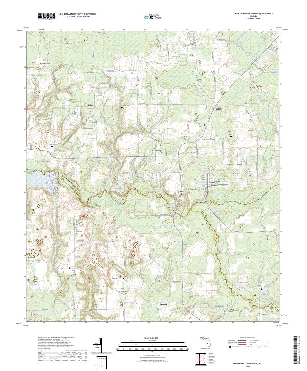
2024 Map of Worthington Springs
USGS Topo · Published 2024About this map
Worthington Springs sits at the convergence of three North Florida counties—Union, Bradford, and Alachua—marking a point where the Santa Fe River and New River define the local geography. This landscape is a patchwork of rural homesteads and agricultural tracts, punctuated by the small settlements of Browns Still, Dukes, and Santa Fe. The prevalence of small, family-named burial grounds suggests a deeply rooted local genealogy, with sites such as Richard Family Cem and Davis Family Cem scattered across the countryside.
Find a feature on this map
132 named features on this map. Tap any name to fly to it.
Don’t see what you’re looking for? This feature index may not catch every label — zoom into the map to look around manually.
Map Details
Editions of this 2024 Worthington Springs Map
This is the sole edition of this map. No revisions or reprints were ever made.
Other maps of this area

1954 · Gainesville
USGS Topo · 1:250,000

1954 · Valdosta
USGS Topo · 1:250,000

1958 · Valdosta
USGS Topo · 1:250,000

1958 · Gainesville
USGS Topo · 1:250,000

1959 · Valdosta
USGS Topo · 1:250,000

1959 · Gainesville
USGS Topo · 1:250,000

1962 · High Springs
USGS Topo · 1:24,000

1962 · Mikesville
USGS Topo · 1:24,000

1963 · Ellisville
USGS Topo · 1:24,000

1966 · Lake Butler
USGS Topo · 1:24,000