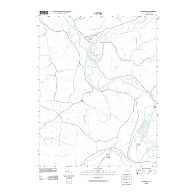
2010 Map of Worthville
USGS Topo · Published 2010About this map
The Kentucky River winds dramatically through this northern Kentucky landscape, creating deep meanders that define the local geography. At the confluence of the river and Eagle Creek, the town of Worthville serves as a primary point of interest, situated near the Worthville Masonic Cemetery. The settlement pattern follows the intricate drainage system of the region, with clusters of activity at Port Royal and the resort community of Perry Park to the southeast.
Find a feature on this map
40 named features on this map. Tap any name to fly to it.
Don’t see what you’re looking for? This feature index may not catch every label — zoom into the map to look around manually.
Map Details
Editions of this 2010 Worthville Map
This is the sole edition of this map. No revisions or reprints were ever made.
Other maps of this area

1906 · Lockport
USGS Topo · 1:48,000

1908 · Lockport
USGS Topo · 1:62,500

1928 · New Castle
USGS Topo · 1:48,000

1932 · New Castle
USGS Topo · 1:62,500

1943 · Brooksburg
USGS Topo · 1:24,000

1943 · Vevay South
USGS Topo · 1:24,000

1950 · New Liberty
USGS Topo · 1:24,000

1951 · Sanders
USGS Topo · 1:24,000

1952 · Vevay South
USGS Topo · 1:24,000

1952 · Worthville
USGS Topo · 1:24,000