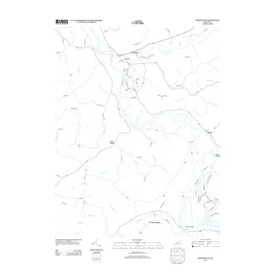
2013 Map of Worthville
USGS Topo · Published 2013About this map
Worthville sits at the confluence of the Kentucky River and Eagle Cr in this 2013 topographic survey. The settlement's layout is defined by the proximity of the riverbanks and the passage of Railroad St, which runs through the northern section of town near the Worthville Masonic Cem. Moving south along the river, the landscape transitions from the concentrated residential streets of Worthville to the more dispersed rural clusters of Port Royal and the resort-like character of Perry Park on the eastern edge of the quadrangle.
Find a feature on this map
82 named features on this map. Tap any name to fly to it.
Don’t see what you’re looking for? This feature index may not catch every label — zoom into the map to look around manually.
Map Details
Editions of this 2013 Worthville Map
This is the sole edition of this map. No revisions or reprints were ever made.
Other maps of this area

1906 · Lockport
USGS Topo · 1:48,000

1908 · Lockport
USGS Topo · 1:62,500

1928 · New Castle
USGS Topo · 1:48,000

1932 · New Castle
USGS Topo · 1:62,500

1943 · Brooksburg
USGS Topo · 1:24,000

1943 · Vevay South
USGS Topo · 1:24,000

1950 · New Liberty
USGS Topo · 1:24,000

1951 · Sanders
USGS Topo · 1:24,000

1952 · Vevay South
USGS Topo · 1:24,000

1952 · Worthville
USGS Topo · 1:24,000