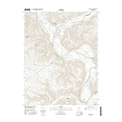
2016 Map of Worthville
USGS Topo · Published 2016About this map
The Kentucky River and its major tributary Eagle Creek define the geography of this North Central Kentucky landscape, where the borders of Carroll, Henry, and Owen counties meet. The settlement of Worthville serves as a focal point near the river confluence, supported by local landmarks like the Worthville Masonic Cem. Moving south along the winding river valley, the terrain transitions toward Port Royal and the mineral spring history of Drennon Springs.
Find a feature on this map
68 named features on this map. Tap any name to fly to it.
Don’t see what you’re looking for? This feature index may not catch every label — zoom into the map to look around manually.
Map Details
Editions of this 2016 Worthville Map
This is the sole edition of this map. No revisions or reprints were ever made.
Other maps of this area

1906 · Lockport
USGS Topo · 1:48,000

1908 · Lockport
USGS Topo · 1:62,500

1928 · New Castle
USGS Topo · 1:48,000

1932 · New Castle
USGS Topo · 1:62,500

1943 · Brooksburg
USGS Topo · 1:24,000

1943 · Vevay South
USGS Topo · 1:24,000

1950 · New Liberty
USGS Topo · 1:24,000

1951 · Sanders
USGS Topo · 1:24,000

1952 · Vevay South
USGS Topo · 1:24,000

1952 · Worthville
USGS Topo · 1:24,000