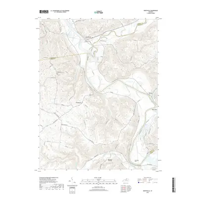
2019 Map of Worthville
USGS Topo · Published 2019About this map
Worthville sits at the confluence of the Kentucky River and Eagle Creek, anchoring a landscape where the river’s deep meanders dictate the local geography. The waterway forms a massive oxbow at Horseshoe Bend, a prominent natural feature that defines the southern portion of the quadrangle. This area serves as a tri-county junction where Carroll, Owen, and Henry counties meet, influencing the placement of settlements like Port Royal and Drennon Springs.
Find a feature on this map
76 named features on this map. Tap any name to fly to it.
Don’t see what you’re looking for? This feature index may not catch every label — zoom into the map to look around manually.
Map Details
Editions of this 2019 Worthville Map
This is the sole edition of this map. No revisions or reprints were ever made.
Other maps of this area

1906 · Lockport
USGS Topo · 1:48,000

1908 · Lockport
USGS Topo · 1:62,500

1928 · New Castle
USGS Topo · 1:48,000

1932 · New Castle
USGS Topo · 1:62,500

1943 · Brooksburg
USGS Topo · 1:24,000

1943 · Vevay South
USGS Topo · 1:24,000

1950 · New Liberty
USGS Topo · 1:24,000

1951 · Sanders
USGS Topo · 1:24,000

1952 · Vevay South
USGS Topo · 1:24,000

1952 · Worthville
USGS Topo · 1:24,000