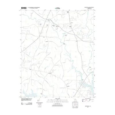
2011 Map of Worthville
USGS Topo · Published 2011About this map
Fincherville and Worthville serve as focal points for this rural landscape in Butts County, where the convergence of the South River and Yellow River feeds into the northern reaches of Jackson Lake. The area is defined by its numerous shoals and watercourses, including Wildcat Creek and Mackey Creek, which historically dictated the placement of river crossings like Manns Bridge and Stewart Bridge.
Find a feature on this map
78 named features on this map. Tap any name to fly to it.
Don’t see what you’re looking for? This feature index may not catch every label — zoom into the map to look around manually.
Map Details
Editions of this 2011 Worthville Map
This is the sole edition of this map. No revisions or reprints were ever made.
Other maps of this area

1888 · Atlanta
USGS Topo · 1:125,000

1890 · Atlanta
USGS Topo · 1:125,000

1892 · Atlanta
USGS Topo · 1:125,000

1895 · Atlanta
USGS Topo · 1:125,000

1896 · Monroe
USGS Topo · 1:125,000

1953 · Atlanta
USGS Topo · 1:250,000

1953 · Athens
USGS Topo · 1:250,000

1957 · Atlanta
USGS Topo · 1:250,000

1958 · Athens
USGS Topo · 1:250,000

1958 · Atlanta
USGS Topo · 1:250,000