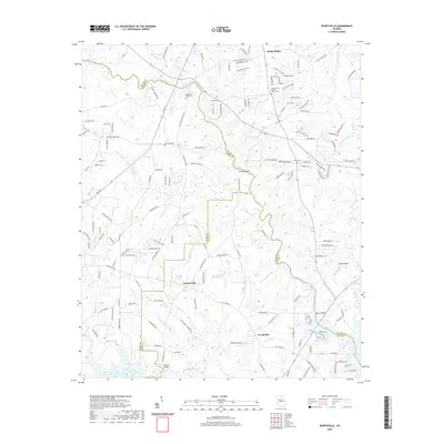
2020 Map of Worthville
USGS Topo · Published 2020About this map
Fincherville and Worthville anchor this study of the north Georgia landscape where the South River and Yellow River converge. The terrain is defined by its watercourses and the historical crossings that connected these rural communities, including the site of Manns Bridge and Stewart Bridge. Significant for genealogical research, the area contains several small burial grounds such as Snapping Shoals Cem, Fairview Cem, and Davis Cem, alongside the County Line Baptist Church Cem.
Find a feature on this map
156 named features on this map. Tap any name to fly to it.
Don’t see what you’re looking for? This feature index may not catch every label — zoom into the map to look around manually.
Map Details
Editions of this 2020 Worthville Map
This is the sole edition of this map. No revisions or reprints were ever made.
Other maps of this area

1888 · Atlanta
USGS Topo · 1:125,000

1890 · Atlanta
USGS Topo · 1:125,000

1892 · Atlanta
USGS Topo · 1:125,000

1895 · Atlanta
USGS Topo · 1:125,000

1896 · Monroe
USGS Topo · 1:125,000

1953 · Atlanta
USGS Topo · 1:250,000

1953 · Athens
USGS Topo · 1:250,000

1957 · Atlanta
USGS Topo · 1:250,000

1958 · Athens
USGS Topo · 1:250,000

1958 · Atlanta
USGS Topo · 1:250,000