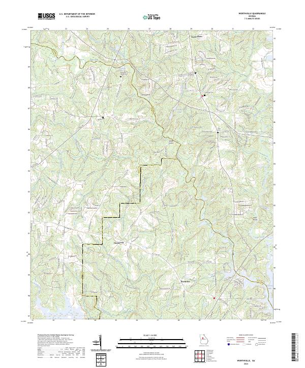
2024 Map of Worthville
USGS Topo · Published 2024About this map
Fincherville and Worthville anchor the southern reaches of this landscape where the boundaries of Newton, Henry, and Butts Counties converge. The convergence of the South River and Yellow River forms the northern tip of Jackson Lake, a defining hydrological feature that has shaped the local topography and property lines. This modern survey reflects a region where traditional crossroads and river crossings have evolved into established residential clusters while maintaining a strong connection to the historic watercourses.
Find a feature on this map
154 named features on this map. Tap any name to fly to it.
Don’t see what you’re looking for? This feature index may not catch every label — zoom into the map to look around manually.
Map Details
Editions of this 2024 Worthville Map
This is the sole edition of this map. No revisions or reprints were ever made.
Other maps of this area

1888 · Atlanta
USGS Topo · 1:125,000

1890 · Atlanta
USGS Topo · 1:125,000

1892 · Atlanta
USGS Topo · 1:125,000

1895 · Atlanta
USGS Topo · 1:125,000

1896 · Monroe
USGS Topo · 1:125,000

1953 · Atlanta
USGS Topo · 1:250,000

1953 · Athens
USGS Topo · 1:250,000

1957 · Atlanta
USGS Topo · 1:250,000

1958 · Athens
USGS Topo · 1:250,000

1958 · Atlanta
USGS Topo · 1:250,000