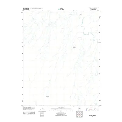
2011 Map of Wrather Arch
USGS Topo · Published 2011About this map
Wrather Arch stands as a prominent geological landmark in this high-desert landscape of Coconino County, where the meandering Paria River carves its way through the northern reaches of the terrain. The map documents a sparsely settled area primarily defined by drainage patterns and water management features essential for land use in this arid environment. Strategic water points such as Lynn Tank and Soap Creek Number One Tank are scattered across the sheet, while more significant catchments like Middle Reservoir and Lower Reservoir appear in the southern portion. The presence of named landmarks like Hole in the Rock and The Hole highlights the unique topography that has long challenged travelers and ranchers. Further north, Judd Hollow leads toward the river, reflecting the deep-cut canyons and narrow passages that characterize this section of the Arizona backcountry.
Find a feature on this map
10 named features on this map. Tap any name to fly to it.
Don’t see what you’re looking for? This feature index may not catch every label — zoom into the map to look around manually.
Map Details
Editions of this 2011 Wrather Arch Map
2 editions found
Other maps of this area

1886 · Escalante
USGS Topo · 1:250,000

1886 · Echo Cliffs
USGS Topo · 1:250,000

1891 · Echo Cliffs
USGS Topo · 1:250,000

1953 · Nipple Butte
USGS Topo · 1:62,500

1954 · Lees Ferry NW
USGS Topo · 1:24,000

1954 · Paria Plateau SE
USGS Topo · 1:24,000

1954 · Paria Plateau NW
USGS Topo · 1:24,000

1954 · Paria Plateau SW
USGS Topo · 1:24,000

1954 · Lees Ferry SW
USGS Topo · 1:24,000

1954 · Lees Ferry
USGS Topo · 1:62,500