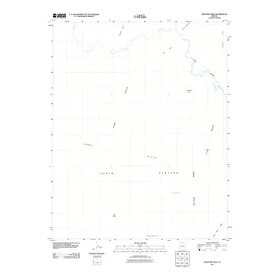
2011 Map of Wrather Arch
USGS Topo · Published 2011About this map
Wrather Arch stands as a prominent natural landmark within this northern Arizona landscape, where the Paria River carves a winding path through the deep corridor of Paria Canyon. This 2011 survey details a high-elevation environment defined by the expansive Paria Plateau and the surrounding geological features like Button Ridge and the Sand Hills. The map traces the drainage patterns and water management features essential to this arid region, including Lynn Tank and the Middle Reservoir. The terrain is marked by significant elevation changes, from the low reaches of Little Valley and Bush Head Valley to the heights of Cedar Mountain and Bridger Point. This area, largely devoid of modern infrastructure, remains defined by its natural topography and remote landmarks such as The Hole and Judd Hollow.
Find a feature on this map
16 named features on this map. Tap any name to fly to it.
Don’t see what you’re looking for? This feature index may not catch every label — zoom into the map to look around manually.
Map Details
Editions of this 2011 Wrather Arch Map
2 editions found
Other maps of this area

1886 · Escalante
USGS Topo · 1:250,000

1886 · Echo Cliffs
USGS Topo · 1:250,000

1891 · Echo Cliffs
USGS Topo · 1:250,000

1953 · Nipple Butte
USGS Topo · 1:62,500

1954 · Lees Ferry NW
USGS Topo · 1:24,000

1954 · Paria Plateau SE
USGS Topo · 1:24,000

1954 · Paria Plateau NW
USGS Topo · 1:24,000

1954 · Paria Plateau SW
USGS Topo · 1:24,000

1954 · Lees Ferry SW
USGS Topo · 1:24,000

1954 · Lees Ferry
USGS Topo · 1:62,500