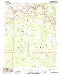
1985 Map of Wrather Arch
USGS Topo · Published 1985About this map
The Paria Canyon corridor and its massive surrounding tablelands dominate this mid-1980s topographical study. The high elevation of the Paria Plateau is marked by a network of isolated water catchments essential for high-desert survival, including Mackelprang Tank, Lynn Tank, and the Little Lower Reservoir. Evidence of human activity and ranching history in this remote Coconino County landscape appears through the naming of Adams Pasture and several corrals connected by primitive 4wd tracks.
Find a feature on this map
24 named features on this map. Tap any name to fly to it.
Don’t see what you’re looking for? This feature index may not catch every label — zoom into the map to look around manually.
Map Details
Editions of this 1985 Wrather Arch Map
2 editions found
Other maps of this area

1886 · Escalante
USGS Topo · 1:250,000

1886 · Echo Cliffs
USGS Topo · 1:250,000

1891 · Echo Cliffs
USGS Topo · 1:250,000

1953 · Nipple Butte
USGS Topo · 1:62,500

1954 · Lees Ferry NW
USGS Topo · 1:24,000

1954 · Paria Plateau SE
USGS Topo · 1:24,000

1954 · Paria Plateau NW
USGS Topo · 1:24,000

1954 · Paria Plateau SW
USGS Topo · 1:24,000

1954 · Lees Ferry SW
USGS Topo · 1:24,000

1954 · Lees Ferry
USGS Topo · 1:62,500