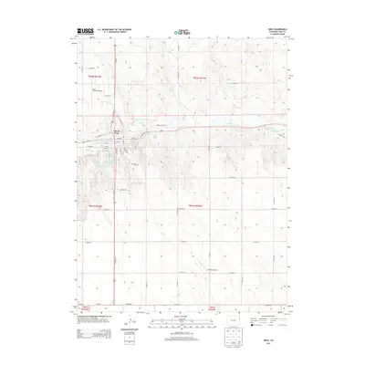
2013 Map of Wray
USGS Topo · Published 2013About this map
The City of Wray serves as the primary hub of this eastern Colorado landscape, situated along the North Fork Republican River. The town's grid is well-defined, bordered by the local municipal airport and the Grandview Cem on its southern edge. This 2013 survey illustrates a landscape deeply shaped by water management and transit, featuring the Haigler Canal and several specialized water bodies like Olive Lake and Wray Watershed District Reservoir Number 5.
Find a feature on this map
55 named features on this map. Tap any name to fly to it.
Don’t see what you’re looking for? This feature index may not catch every label — zoom into the map to look around manually.
Map Details
Editions of this 2013 Wray Map
This is the sole edition of this map. No revisions or reprints were ever made.
Other maps of this area

1954 · Limon
USGS Topo · 1:250,000

1954 · Sterling
USGS Topo · 1:250,000

1957 · Limon
USGS Topo · 1:250,000

1958 · Limon
USGS Topo · 1:250,000

1958 · Sterling
USGS Topo · 1:250,000

1961 · Robb
USGS Topo · 1:24,000

1961 · Laird
USGS Topo · 1:24,000

1961 · Wray
USGS Topo · 1:24,000

1963 · Vernon
USGS Topo · 1:24,000

1963 · Beecher Island NW
USGS Topo · 1:24,000