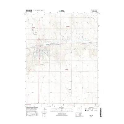
2016 Map of Wray
USGS Topo · Published 2016About this map
Wray serves as the focal point of this 2016 survey, situated along the N Fork Republican River in Yuma County. The town's grid is detailed with street-level precision, showing the intersection of W N Railway St and local thoroughfares like E 3rd St. The surrounding landscape is defined by an intricate water management system, including the Laird Canal, Haigler Canal, and a series of numbered reservoirs such as Wray Watershed District Reservoir Number 3. This network of irrigation and water control highlights the region's reliance on the Republican River drainage.
Find a feature on this map
54 named features on this map. Tap any name to fly to it.
Don’t see what you’re looking for? This feature index may not catch every label — zoom into the map to look around manually.
Map Details
Editions of this 2016 Wray Map
This is the sole edition of this map. No revisions or reprints were ever made.
Other maps of this area

1954 · Limon
USGS Topo · 1:250,000

1954 · Sterling
USGS Topo · 1:250,000

1957 · Limon
USGS Topo · 1:250,000

1958 · Limon
USGS Topo · 1:250,000

1958 · Sterling
USGS Topo · 1:250,000

1961 · Robb
USGS Topo · 1:24,000

1961 · Laird
USGS Topo · 1:24,000

1961 · Wray
USGS Topo · 1:24,000

1963 · Vernon
USGS Topo · 1:24,000

1963 · Beecher Island NW
USGS Topo · 1:24,000